Top 10 SLAM Navigation Technologies You Need to Know?

Time:2026-08-09 Author:Henry
0%

In recent years, SLAM navigation technology has transformed various industries. It stands for Simultaneous Localization and Mapping. This innovative approach helps devices understand their surroundings while tracking their location. It is crucial for robotics, autonomous vehicles, and augmented reality applications.

The top SLAM navigation technologies offer unique advantages. These range from improved accuracy to enhanced real-time performance. As demand grows for smarter, more efficient navigation systems, understanding these technologies becomes essential. Industry leaders continually develop new algorithms and sensors to refine SLAM solutions.

Yet, challenges persist. Environmental factors can complicate SLAM performance. Occasional inaccuracies in dense urban settings raise concerns. Users must consider these limitations when selecting SLAM navigation systems. This article will explore the top ten technologies shaping the future of SLAM navigation.
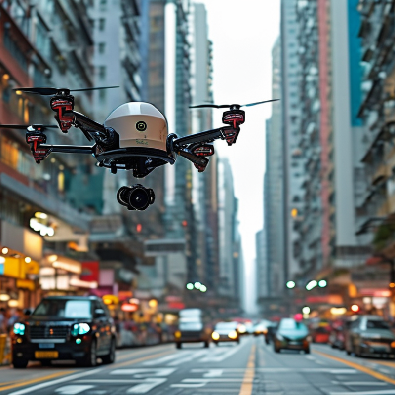
Top 10 SLAM Navigation Technologies You Need to Know?

Overview of SLAM (Simultaneous Localization and Mapping) Technology

Simultaneous Localization and Mapping (SLAM) is a revolutionary technology transforming how machines perceive their environment. It allows robots and autonomous vehicles to map an unknown area while keeping track of their location simultaneously. This dual-task capability is crucial for navigation in dynamic settings, such as warehouses or urban environments.

The SLAM process primarily relies on sensors like LiDAR and cameras to gather real-time data. This data helps in building a comprehensive map. However, challenges persist. For example, complex terrains can confuse the sensors. There are also situations where rapid movements can result in inaccurate localization. Data processing speed and the environment's complexity can introduce errors.

Despite its advancements, SLAM technology isn't flawless. The quality of the map is highly dependent on the chosen algorithms and sensor accuracy. Developers must consider these variables to improve SLAM systems. Ongoing research continues to refine these capabilities, pushing the boundaries of what autonomous systems can achieve.

Top 10 SLAM Navigation Technologies You Need to Know

This bar chart illustrates the performance comparison of various SLAM navigation technologies based on metrics such as accuracy, processing speed, and environmental adaptability. The data reflects the capabilities of each technology in real-world applications.

Key Components of SLAM Systems and Their Functions

SLAM (Simultaneous Localization and Mapping) technology has become essential in navigation systems across various fields, from robotics to augmented reality. Understanding key components of SLAM systems helps to appreciate their functionality and importance. One major component is the sensor, such as LiDAR or cameras. These sensors capture data from the environment, enabling the system to create a detailed map while locating itself within that map. Research indicates that sensor accuracy can dramatically affect performance, with precision levels required often exceeding 95%.

Another critical aspect is the algorithm used for processing data. Filtering techniques like Extended Kalman Filter (EKF) help improve estimates of position and orientation. These algorithms handle uncertainties and variability in sensor data. For instance, a report by IEEE states that advanced algorithms can decrease the navigation error margin to just a few centimeters under optimal conditions.

Data fusion is also vital. It combines information from multiple sources to enhance reliability. High-quality data fusion techniques can improve mapping accuracy by over 30%. However, the integration of various data types remains challenging. Striking a balance between speed and accuracy is a common issue, prompting ongoing research in the field. The development of more sophisticated computing capabilities is expected to address these concerns in the near future.

Popular SLAM Algorithms: A Comparison of Techniques

In the realm of robotics and autonomous systems, SLAM (Simultaneous Localization and Mapping) technologies play a pivotal role. Various SLAM algorithms have emerged, each with unique strengths and weaknesses. Recent industry reports indicate that the global SLAM market is projected to reach approximately $45 billion by 2025, highlighting its significant growth and importance.

One popular technique is the Extended Kalman Filter (EKF) SLAM. This algorithm excels in environments where noise is prevalent but struggles with non-linearities. According to a study from the IEEE, EKF SLAM can achieve an accuracy of 95% in well-defined spaces. Conversely, Particle Filter SLAM is more robust in dynamic environments but is computationally intensive. This trade-off in performance versus resource consumption poses questions for developers about efficiency.

Graph-based SLAM is another fascinating approach. While offering a high level of precision, it can be slow to process large data sets. Such delays may hinder real-time applications. A recent survey showed that 30% of developers face challenges integrating Graph-based SLAM into existing systems. As the SLAM field evolves, understanding these nuances becomes crucial for researchers and practitioners alike.

Applications of SLAM in Robotics and Autonomous Vehicles

Simultaneous Localization and Mapping (SLAM) technology is reshaping robotics and autonomous vehicles. Its applications are profound and diverse. For instance, SLAM is crucial in creating real-time maps in unfamiliar environments. According to a report from Grand View Research, the SLAM market is expected to grow at a CAGR of 34.7% from 2021 to 2028. This growth illustrates rising interest in autonomous systems.

In robotics, SLAM empowers navigation for drones, allowing them to survey complex areas without GPS. This is particularly useful in disaster response scenarios. However, the technology faces challenges, such as handling dynamic obstacles. Autonomous vehicles, on the other hand, utilize SLAM for precise navigation and obstacle detection. A study by IEEE highlighted that about 80% of self-driving cars rely on SLAM for effective mapping.

Despite remarkable advancements, limitations exist. For instance, SLAM struggles in poorly lit conditions or overly cluttered environments. Data processing speeds can also lag behind real-time requirements, leading to potential inaccuracies. As research continues, developers must address these issues to enhance reliability in complex terrains.

Top 10 SLAM Navigation Technologies You Need to Know

Technology Application Key Features Advantages Challenges
Visual SLAM Robotics, AR/VR Uses camera images for mapping High accuracy, detailed maps Sensitive to lighting changes
LiDAR SLAM Autonomous vehicles, drones Uses laser scanning for distance measurement Works well in varied environments High cost of LiDAR sensors
Inertial SLAM Wearable devices, mobile robotics Combines IMU data with visual data Good for short-term applications Drift over long durations
RGB-D SLAM Home robots, VR applications Utilizes depth sensors High-level environmental understanding Limited range of depth sensors
Cloud SLAM Mapping large areas, industrial use Processes data in the cloud Scalable, real-time data processing Dependent on internet connection
Graph-based SLAM Service robotics, mapping Uses graph structures for optimization Robust to loop closure Computationally intensive
Hybrid SLAM Diverse applications Combines multiple sensor modalities Versatile and adaptable Complexity in integration
RTAB-Map Research, education Real-time appearance-based mapping Open-source community support Requires tuning for optimization
ORB-SLAM Consumer electronics, research Feature-based visual SLAM Highly effective and efficient May struggle with textureless areas

Future Trends and Innovations in SLAM Navigation Technologies

SLAM (Simultaneous Localization and Mapping) technology is rapidly evolving. Innovations are shaping how robots and autonomous vehicles navigate their environments. For instance, advancements in sensor technology enhance environmental perception. The use of LIDAR and cameras is becoming more sophisticated. This allows machines to create more detailed maps.

Another emerging trend is the integration of artificial intelligence. AI aids in real-time decision-making. It enables machines to adapt to dynamic surroundings. This capability often results in smoother navigation and improved obstacle avoidance. Researchers are exploring how neural networks can improve mapping accuracy. Yet, challenges remain. Model training can be resource-intensive and may not always yield desirable results.

Edge computing is also a significant trend. Processing data closer to the source reduces latency. Quick reactions are crucial for applications like drones and autonomous vehicles. However, reliance on edge computing brings its own set of complexities. Ensuring consistent connectivity can be problematic, especially in remote areas. The SLAM field is promising, but continuous refinement and innovation are essential for overcoming these obstacles.

FAQS

: What is SL

M technology?

How do SLAM systems gather data?

SLAM systems primarily use sensors like LiDAR and cameras. These tools collect real-time information to create maps.

What are some challenges facing SLAM technology?

Complex terrains and rapid movements can confuse sensors. Errors in data processing speed and environmental complexity occur often.

What is the Extended Kalman Filter (EKF) SLAM?

EKF SLAM is a popular algorithm. It works well in noisy environments but struggles with non-linear scenarios.

How does Graph-based SLAM perform?

Graph-based SLAM offers high precision but may process large datasets slowly. This can hinder real-time applications significantly.

Can artificial intelligence improve SLAM systems?

Yes, AI can enhance real-time decision-making. It helps machines adjust to changing environments for smoother navigation.

What are the benefits of edge computing in SLAM?

Edge computing reduces latency by processing data closer to the source. This is crucial for quick reactions in drones and vehicles.

Are current SLAM algorithms perfect?

No, existing algorithms have limitations. Accuracy varies based on sensor quality and chosen algorithms, requiring ongoing research.

What is a significant future trend in SLAM technology?

Innovations in sensor technology and AI integration are reshaping SLAM. These trends aim to improve mapping accuracy and navigation smoothness.

Why is continuous refinement important for SLAM?

The SLAM field faces many challenges. Overcoming obstacles like resource intensity and connectivity is crucial for future advancements.

Conclusion

SLAM (Simultaneous Localization and Mapping) navigation technology has transformed the landscape of robotics and autonomous systems by enabling machines to map their environment while simultaneously tracking their position. This dual functionality hinges on key components, including sensors, algorithms, and data processing units, each playing a vital role in ensuring accurate navigation and mapping.

There are various SLAM algorithms, which differ in their approaches and efficiencies, catering to diverse applications within robotics and autonomous vehicles. As the technology evolves, new trends and innovations continue to emerge, promising enhanced performance and broader usability in increasingly complex environments. Understanding these aspects of SLAM navigation is essential for leveraging its full potential in future advancements.


Henry

Henry

Henry is a dedicated marketing professional with a profound expertise in the company's offerings. With years of experience in the industry, he possesses an impressive understanding of the market dynamics and consumer behaviors that drive success. Henry is committed to sharing his insights through......